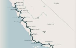
An Elegant Display Map
Over the years, we have looked for maps related to the California Missions Trail (CMT) in books, archive libraries, and online. We have found intriguing maps published in the 1800s, 1900s, and this century. We love old maps. However, when we discovered the contemporary …
Guess Who is Walking the Trail from Sonoma to San Diego?
In his latest project, travel guide and author Sanford “Sandy” Brown is making preparations to write a guidebook for the California Missions Trail, the 815-mile walking/biking itinerary…
December 20, 2020
Travel
The Road the Famous Fathers Trod
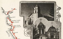
Postcards from the first half of the 20th century give us a glimpse of the past. The route shown on the postcard below has the missions often located on spurs that are off the main road. The postcard shows an image of the Monterey …
December 19, 2020
Travel


